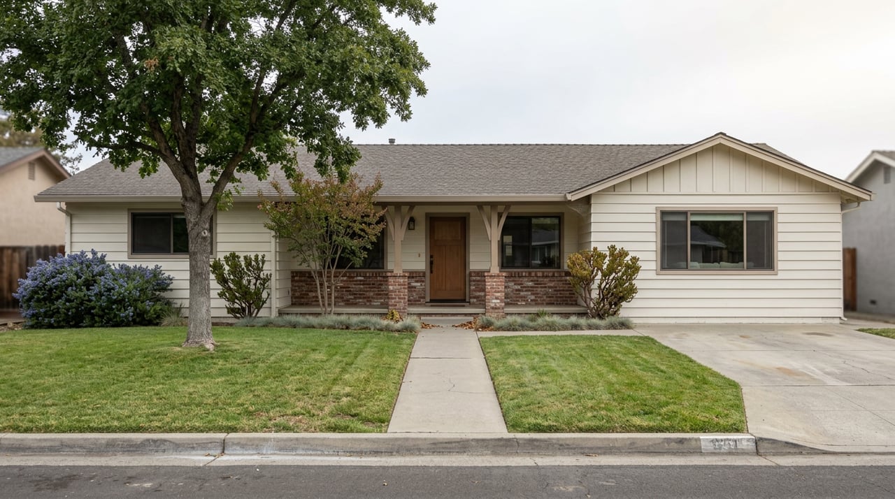
Say you're in escrow on a house a few blocks from Reeds Creek or the Sacramento River in Red Bluff. The seller's current flood insurance premium is on the disclosure paperwork, and it looks reasonable. What that number doesn't tell you is whether it's still the right number for the house you're about to own.
In January 2026, FEMA delivered new preliminary flood maps for Tehama County and the City of Red Bluff, revising flood hazard boundaries along seven streams countywide. Those maps are real. The hydrology behind them has already been studied and published. What they are not, yet, is law. And that gap between "the risk is documented" and "the requirement is enforced" is exactly the window where a Red Bluff transaction can go sideways for a buyer who assumes preliminary means irrelevant.
The word "preliminary" is doing a lot of work
FEMA's process for updating a flood map has a fixed shape, and Tehama County is partway through it. The preliminary maps went out on January 8, 2026. A 90-day appeal period ran from January 22 to April 22, 2026, giving residents and businesses a window to challenge specific flood risk findings with their own hydraulic or hydrologic data. On April 29, 2026, county officials and the City of Red Bluff held a public informational session at the Board of Supervisors Chambers to walk residents through what the maps could mean for specific properties.
That appeal window has closed. What comes next, under FEMA's standard process, is a Letter of Final Determination, the notice that starts a six-month countdown to the new map becoming the official Flood Insurance Rate Map. As of late August 2026, FEMA has not published that letter for Tehama County. That means the maps discussed at the April meeting are still preliminary. They describe real risk. They don't yet carry the force of a mandatory insurance requirement.
If you're buying or selling right now, that's the detail worth sitting with. The map that will eventually govern your loan may not be the map your lender is using today.
What actually changes once the map does
Under the National Flood Insurance Program, a property in a zone that starts with the letter A or V is in a Special Flood Hazard Area, and a federally backed mortgage on that property requires flood insurance. According to the Tehama County Flood Control and Water Conservation District, coverage in a low to moderate risk area can run as little as $80 a year. In a high-risk zone, the average premium is closer to $300 a year.
Here's the mechanism that catches people off guard at closing. A property that sits just outside today's mapped hazard zone pays nothing for flood coverage and carries no lender requirement. If the new map redraws that boundary and the parcel now falls inside an A or V zone, the next buyer's lender will require a policy from day one, regardless of what the previous owner paid or didn't pay. The map doesn't have to become effective before your offer. It only has to become effective before your loan closes.
| Today, under the preliminary map | After the map becomes effective | |
|---|---|---|
| Legal insurance requirement | None, unless already in a mapped zone | Mandatory for federally backed loans in redrawn A/V zones |
| What the seller's current premium tells you | Their zone status under the old map | Nothing about the new zone |
| Who bears the cost of a changed status | No one yet | Whoever owns the property when the FIRM takes effect |
| Where to verify current status | hazards.fema.gov preliminary portal | The community's adopted FIRM panel |
The streams behind the paperwork have already flooded
It's easy to read a FEMA press release as an abstraction. The streams named in Tehama County's remapping effort aren't hypothetical. The county's west-side watershed, which drains toward the Sacramento River, includes Reeds Creek, Red Bank Creek, Thomes Creek, and Elder Creek, waterways the Sacramento River Watershed Program describes as flowing year-round in their upper reaches and running mostly dry by summer in the lower stretches, the kind of flashy, rain-driven hydrology that can look calm most of the year and behave very differently during a winter storm.
That pattern isn't theoretical. In February 2025, Sacramento River flooding was serious enough that the City of Red Bluff stationed assistance at the Red Bluff Community Center on South Jackson Street, and residents needing overnight shelter were routed to the Vets Hall in Los Molinos. A few months earlier, in October 2024, the Tehama County Probation Department worked with Red Bluff Police, Red Bluff Fire, and Valley View Fire Center crews on a cleanup effort along Reeds Creek aimed at clearing debris from the creek bed before it could reach the Sacramento River. The map revision is a paperwork event. The risk it's measuring already showed up in the community twice in the last two years.
The timeline so far
- January 8, 2026 – FEMA delivers preliminary flood maps for Tehama County and the City of Red Bluff, revising hazards along seven streams.
- January 22 to April 22, 2026 – Ninety-day appeal period, open to residents and businesses with supporting technical data.
- April 29, 2026 – Public informational meeting at the Board of Supervisors Chambers in Red Bluff.
- Late August 2026 – No Letter of Final Determination published yet. Maps remain preliminary.
- Six months after the LFD – New FIRM becomes officially effective, triggering mandatory insurance in redrawn zones.
That last gap is unpredictable. Nothing in FEMA's process guarantees a fast turnaround from appeal closure to final letter, and until that letter is issued, there's no firm effective date to plan around.
What to do if you're under contract right now
If you're actively buying or selling near the Sacramento River or any of the county's west-side creeks, a few concrete steps matter more than general reassurance:
- Pull the parcel's status from FEMA's preliminary map portal directly, not from a secondhand summary, and compare it to the currently effective FIRM panel.
- Ask the seller for their existing declarations page as a floor, not a ceiling. It tells you what they pay today under the old map, not what the next owner will pay under the new one.
- If your closing timeline could plausibly stretch past a future effective date, factor that uncertainty into how you're pricing the offer or timing the transaction.
- For a specific parcel, Tehama County's Building Department can speak to exactly where a property falls under both the current and preliminary maps. Patrick Ewald handles these questions for the county at (530) 527-7002.
None of this is legal or insurance advice, and a licensed insurance agent is the right person to quote an actual premium once a zone status is confirmed. But knowing the difference between preliminary and effective, and knowing where to check it before you sign anything, is the kind of detail that keeps a good deal from becoming an expensive surprise six months after closing.
A few questions that come up
Does this affect homes that aren't near water at all? The current revision is tied to seven specific streams. A parcel with no proximity to a mapped waterway is far less likely to see a zone change, though it's still worth a quick check against the preliminary portal if you want certainty rather than assumption.
Do I need to buy flood insurance on a Red Bluff home today? Only if the property is currently in a mapped Special Flood Hazard Area under the map that's effective right now. The preliminary revision doesn't create a requirement until FEMA issues its Letter of Final Determination and the new map takes effect.
Where can I actually look up a parcel's preliminary status myself? FEMA's preliminary map download portal at hazards.fema.gov is the source both the county and local news outlets have pointed residents to since the maps were delivered in January.
Flood maps are one of the least glamorous parts of a real estate transaction, right up until the timing catches someone by surprise. If you're weighing a purchase near the river or want a straight answer on where a specific Red Bluff parcel stands, Lori Slade at Tehama County Real Estate can walk through it with you, and a free home valuation is a good place to start the conversation either way.