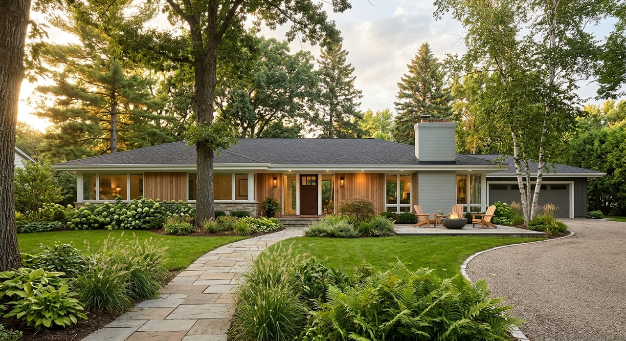
Craving open space, elbow room for projects, or a small orchard just outside town? If you’re looking at homes with acreage near Gerber in Tehama County, you’re on the right track to a rewarding lifestyle. You also face more moving parts than a typical in-town purchase. In this guide, you’ll learn how to evaluate wells, septic systems, legal access, zoning, wildfire and flood risk, and what those mean for your timeline and budget. Let’s dive in.
Gerber acreage at a glance
Gerber sits along the Sacramento River corridor and is surrounded by working agriculture and open rangeland. Expect a mix of irrigated orchards on the valley floor and pasture or oak woodland as you move into the foothills. Local production is strong, with walnuts as Tehama County’s top crop in 2022, reflecting the area’s orchard-friendly land uses and infrastructure. You can explore recent commodity data in the county’s 2022 Crop Report.
Utilities vary. Pacific Gas and Electric serves much of the area, but you should confirm service at the parcel level early using the PG&E service area tool. Some properties connect to community water or sewer districts, while many rely on a private well and an onsite septic system.
Legal access and roads
Before you fall in love with a property, confirm legal, recorded access. That means the parcel fronts a public road or has a properly recorded easement for ingress and egress. If the driveway is shared, a recorded maintenance agreement is often needed and can be required by lenders and insurers.
If you plan new grading or driveway work, check Tehama County’s permit process early through Building and Safety permit information. Clear access and documented maintenance help you avoid surprises during underwriting and appraisal.
Water: wells and community systems
Rural parcels around Gerber often use private wells. You should verify that a well exists, obtain any available well logs, and order independent testing for flow and water quality. If served by a community system, confirm meter availability and capacity with the local district.
Groundwater planning and well registration in Tehama County fall under the Tehama County Flood Control and Water Conservation District, which acts as the local GSA. Start with the county’s Groundwater Sustainability Agency page to understand local management and resources. If you plan to use government-backed financing, expect to provide documentation of a continuous, potable water supply as outlined in federal single-family housing guidance.
Septic and onsite wastewater
Most acreage properties near Gerber use septic systems. Ask for county permit history, system size, and location of the leach field and reserve area. Then order a septic inspection during your contingency period.
Tehama County Environmental Health oversees permits and can explain requirements for repairs or upgrades. Visit the county’s Environmental Health page for process details. Lenders may require a system inspection or certification, and any deficiencies can become a condition of closing under common loan programs.
Soils and buildability
Soils drive a lot of decisions, from foundation design to septic feasibility and even crop choices. If you plan to build, remodel, or add structures, Tehama County requires a modified soils test for single-family residence permits. Review the Building and Safety permit information and talk with a local engineer about what to expect on your specific site.
A soils review can also help you decide whether that small orchard or market garden is a good fit without heavy amendments.
Wildfire risk and insurance
While the Gerber-Las Flores community itself is not broadly mapped in the highest state severity zones, nearby foothill and woodland areas can be. Always check the parcel’s Fire Hazard Severity Zone using the state’s CAL FIRE viewer. Wildfire mapping can influence building requirements, defensible-space duties, and insurance pricing or availability.
It is smart to request insurance quotes early, especially if the property lies in a higher hazard zone or is distant from a fire station.
Flood risk along the river corridor
Much of the Gerber-Las Flores area is outside FEMA’s 1 percent annual chance flood zones, but parcels near the Sacramento River, tributaries, or low areas may map into a flood zone. A recent local planning document notes the community’s general Zone X conditions while flagging the need for site-specific checks. You can see an example discussion in a publicly available initial study document. If your parcel is in a mapped flood zone, federally backed loans will require flood insurance.
Zoning, minimum parcel size, and Williamson Act
Zoning determines what you can build, where you can place it, and whether accessory agricultural uses are allowed. Tehama County’s Planning Department can confirm parcel-level zoning, setbacks, and any special building-site designations. Start with the county’s Zoning Information page.
Some agricultural parcels may be enrolled in the Williamson Act or other conservation programs, which can affect taxes and limit certain conversions. Review the state’s Williamson Act Q&A and ask the county about your parcel’s status before you plan new improvements.
Common acreage types near Gerber
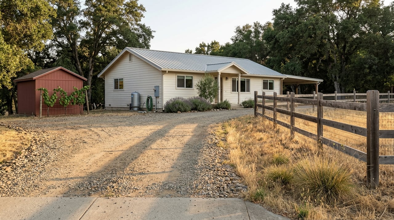
Hobby farms and country homes on 1 to 10 acres
These properties often have a private well and septic, room for light livestock, and outbuildings or shop space. Key checks include septic permits and space for a reserve field, well performance, utility hookups, and recorded driveway access.
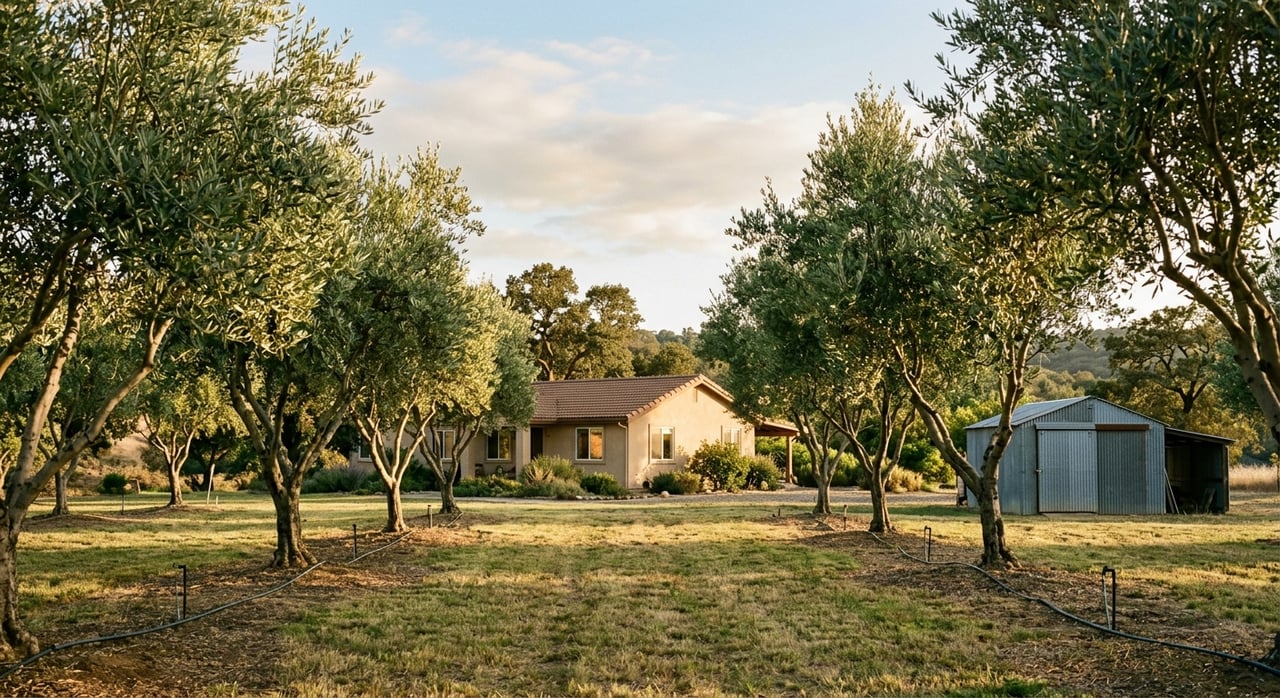
Small orchards and irrigated parcels
In Tehama County, walnuts and almonds are common plantings. Confirm irrigation water availability, whether through a district connection or private source, and verify any water rights or memberships. Soil suitability and pump infrastructure add cost and complexity.
Pasture, ranchland, and oak woodland
Foothill and woodland parcels may carry higher wildfire risk and environmental considerations. If you are buying for grazing or woodland management, confirm fencing, water sources, and any relevant resource protections before you commit.
A step-by-step due diligence plan
Use this sequence to stay organized and reduce surprises:
- Identify the parcel’s APN and pull county parcel details. Confirm zoning, permitted uses, and any recorded restrictions through the Planning Department.
- Call PG&E to confirm power availability and any extension or hookup costs using the PG&E service area tool. If applicable, contact the local water district about meters and capacity.
- Order a well yield and lab water test. Plan for lender-required documentation if using government-backed financing per federal lending guidance.
- Order a septic inspection and request county permit history through Environmental Health. Budget time and funds for possible remediation. Replacement systems can cost tens of thousands of dollars depending on site complexity.
- If building or adding structures, obtain a modified soils test and clarify permit requirements through Building and Safety.
- Check wildfire mapping in the CAL FIRE FHSZ viewer and request insurance quotes early.
- Review FEMA flood mapping and local references, such as this Gerber-area planning study, to understand potential floodplain implications.
- Ask Planning whether the property is under a Williamson Act contract and what that means for use or expansion. The state’s Williamson Act Q&A is a helpful primer.
How buying acreage differs from in-town
- More technical inspections. Expect well flow, water quality, septic, soil, and often a survey as standard contingencies.
- Longer timelines. Repairs, new permits, or recording easements can extend escrow. Build some cushion into your schedule.
- Financing sensitivity. Lenders usually require documentation for water, septic, and legal access, and may condition repairs before closing. You avoid delays by addressing these items early.
Your next steps
Buying acreage near Gerber is absolutely doable when you follow a clear plan. Start by mapping the parcel’s basics, schedule your water and septic inspections early, and confirm zoning and hazard maps before you finalize your offer. With the right preparation, you can enjoy space, flexibility, and the rural lifestyle you want.
If you’re ready to explore acreage near Gerber, connect with Lori Slade for local guidance and a step-by-step plan tailored to your goals.
FAQs
What utilities should I expect on Gerber-area acreage?
- Many properties rely on private wells and septic systems, with electric service from PG&E; confirm utility availability and any hookup or extension costs early using the PG&E service area tool.
How do lenders handle wells and septic on rural homes?
- Most loans require documentation of a continuous, potable water supply and a functioning septic system; plan for testing and certifications aligned with federal single-family housing guidance.
How can I check wildfire risk for a specific parcel?
- Enter the address in the state’s CAL FIRE Fire Hazard Severity Zone viewer and get insurance quotes early if the parcel falls in a higher hazard zone.
What should I know about zoning and the Williamson Act?
- Zoning controls building and uses, and some agricultural parcels are enrolled in the Williamson Act; confirm parcel status with Planning and review the state’s Williamson Act Q&A for tax and use implications.
Is flood insurance required near the Sacramento River?
- It depends on the parcel’s FEMA map designation; much of Gerber is outside the 1 percent flood zone, but low-lying or river-adjacent parcels may require flood insurance, as noted in a local planning study reference.